Home / Our work
Our work
Commercial survey work, method development and technical demonstrations, each labelled so it's clear what you're looking at. Client and site details are kept confidential.
Completed commercial work
Commercial survey work
Surveys delivered for clients as professional commissions. Details are anonymised.
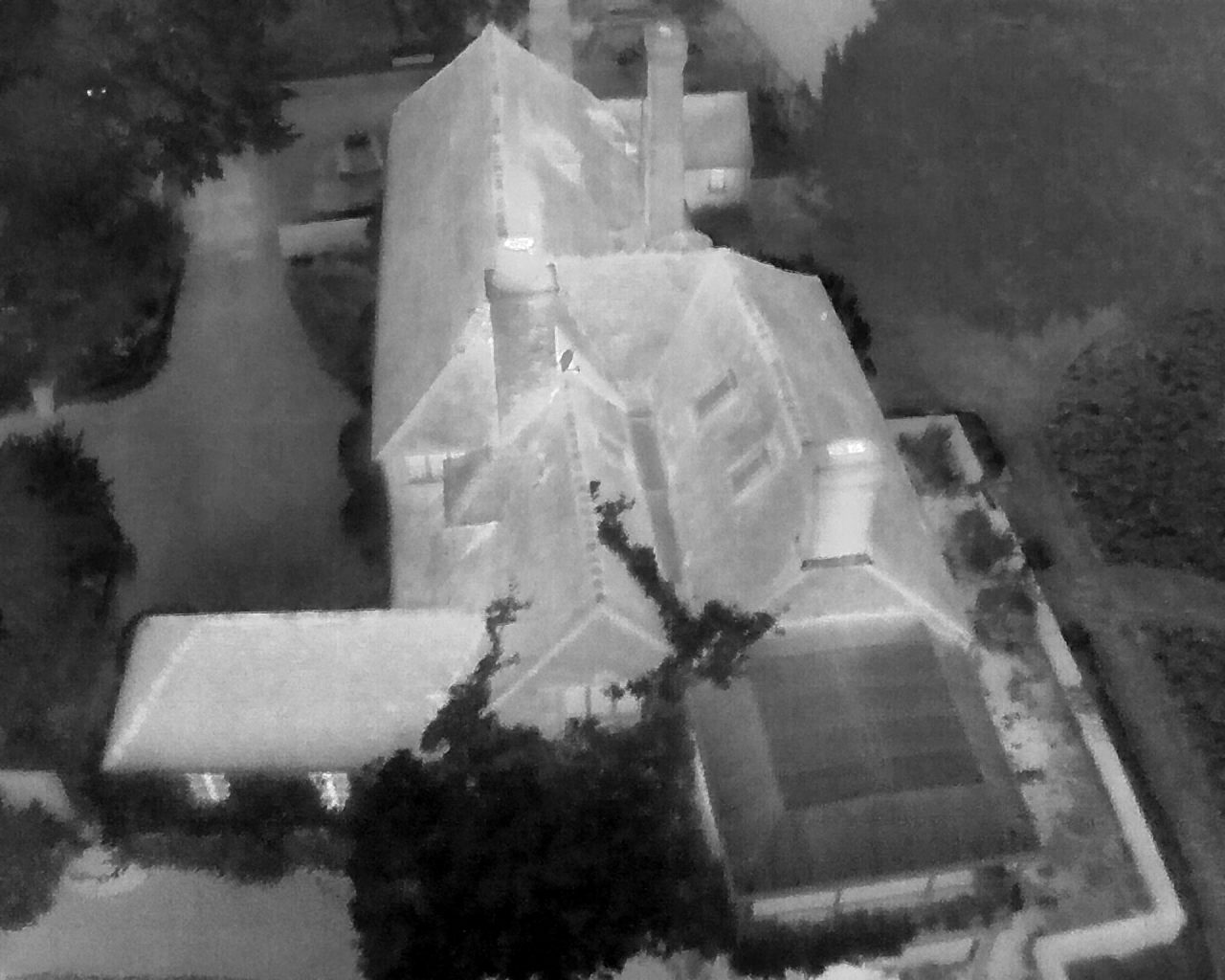
Thermal bat emergence and re-entry surveys
Aerial and ground-based thermal coverage for ecological consultancies on buildings where visibility from standard surveyor positions is limited, with reviewable recordings and ecological interpretation.
About the service →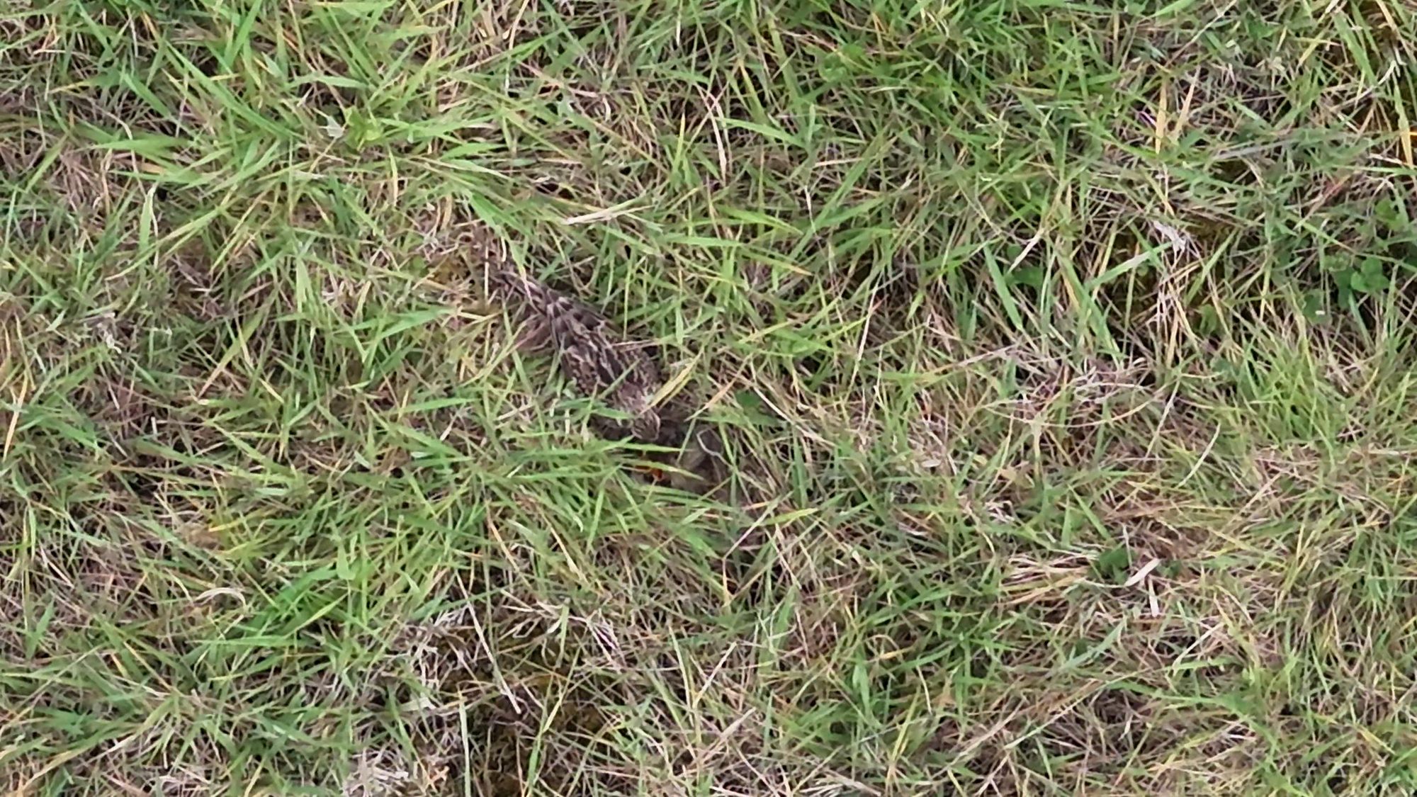
Thermal skylark nest detection surveys
Aerial Ecology has undertaken commercial skylark surveys using thermal drone technology and our two-stage approach, supporting consultants and land managers where ground-nesting birds require consideration.
About the service →Previous methodology development and testing
Method development
How our methods were developed and tested before, and alongside, commercial use. This is development history, not formal scientific validation.
Skylark nest detection
The two-stage approach was developed through a series of field trials before it was used on commercial projects. The detailed detection technique and survey parameters are kept confidential.
The skylark survey service →Thermal workflows and computer vision
We're interested in applied research on thermal survey workflows and computer vision for detecting animals in thermal footage, and welcome research collaborations.
Research collaboration →Technical demonstrations
What the outputs look like
Test flights and example outputs that show the kind of data we produce. These are demonstrations, not reports from client projects.
Thermal test flight over a manor house
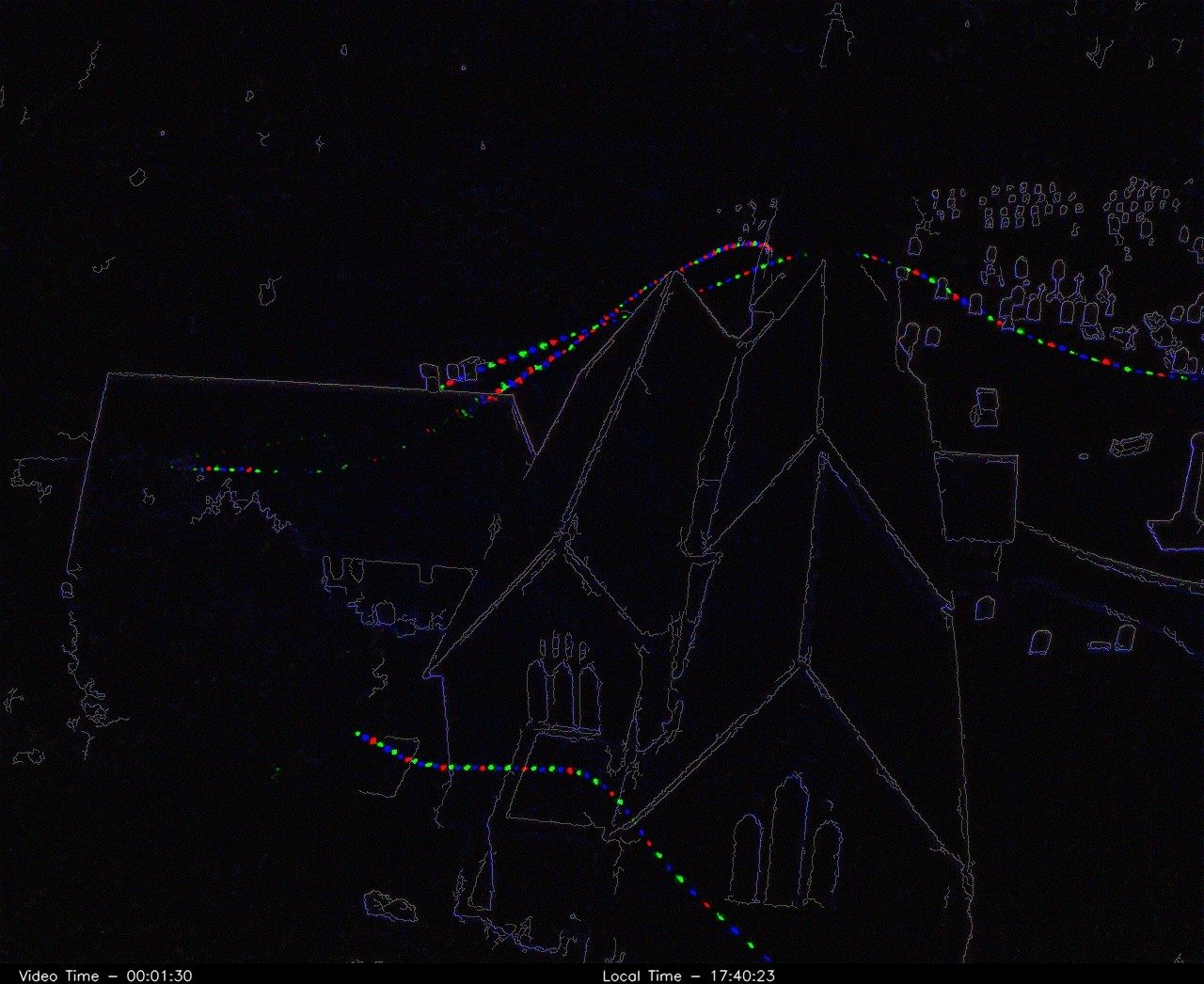
Thermal flight track summary
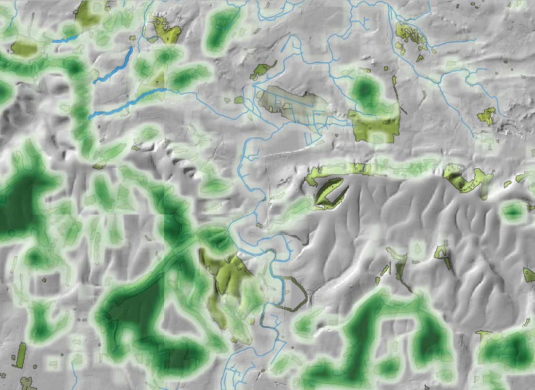
Habitat suitability modelling
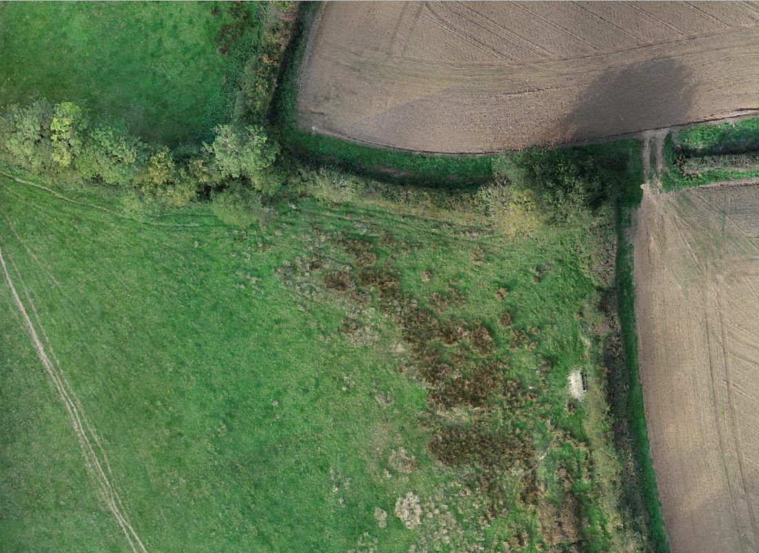
Orthomosaic imagery
3D river corridor model
An interactive 3D reconstruction built from drone survey data, capturing habitat structure, terrain and landscape context.
Planning a survey?
Tell us about your site
We'll suggest a survey approach and say clearly what thermal or aerial methods would add.