Ecological surveys, bat surveys and specialist aerial support
Aerial Ecology provides bat surveys, habitat mapping, Biodiversity Net Gain (BNG) support and drone-based ecological surveys across Sussex, Surrey, Kent, Hampshire and throughout the UK.
Working as an extension of ecological consultancies, we provide additional survey capacity
Based in East Sussex, we regularly support projects across Sussex, Surrey, Kent and Hampshire, while also delivering specialist surveys throughout the UK.
Our work includes:
• Bat emergence and re-entry surveys
• Thermal drone bat surveys
• Biodiversity Net Gain (BNG) assessments and habitat mapping
• GIS analysis and spatial modelling
• Protected species survey support
• LiDAR and photogrammetry surveys
Ecology services across South East England and the UK
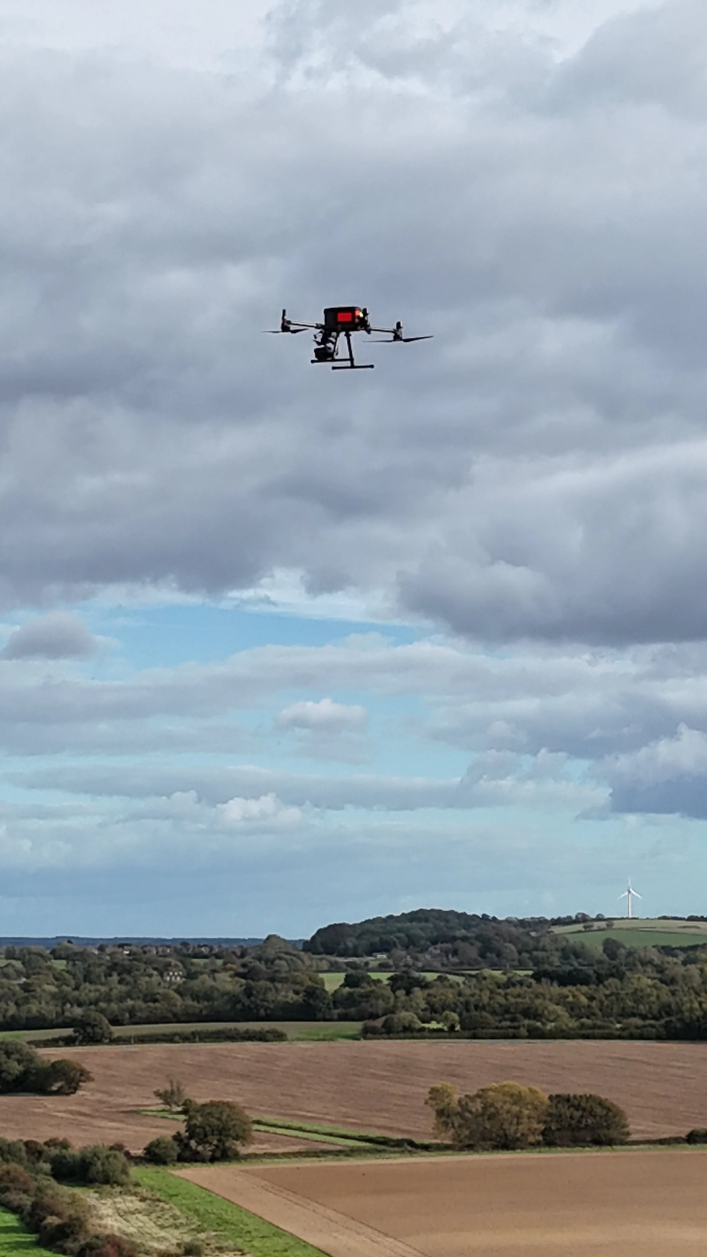
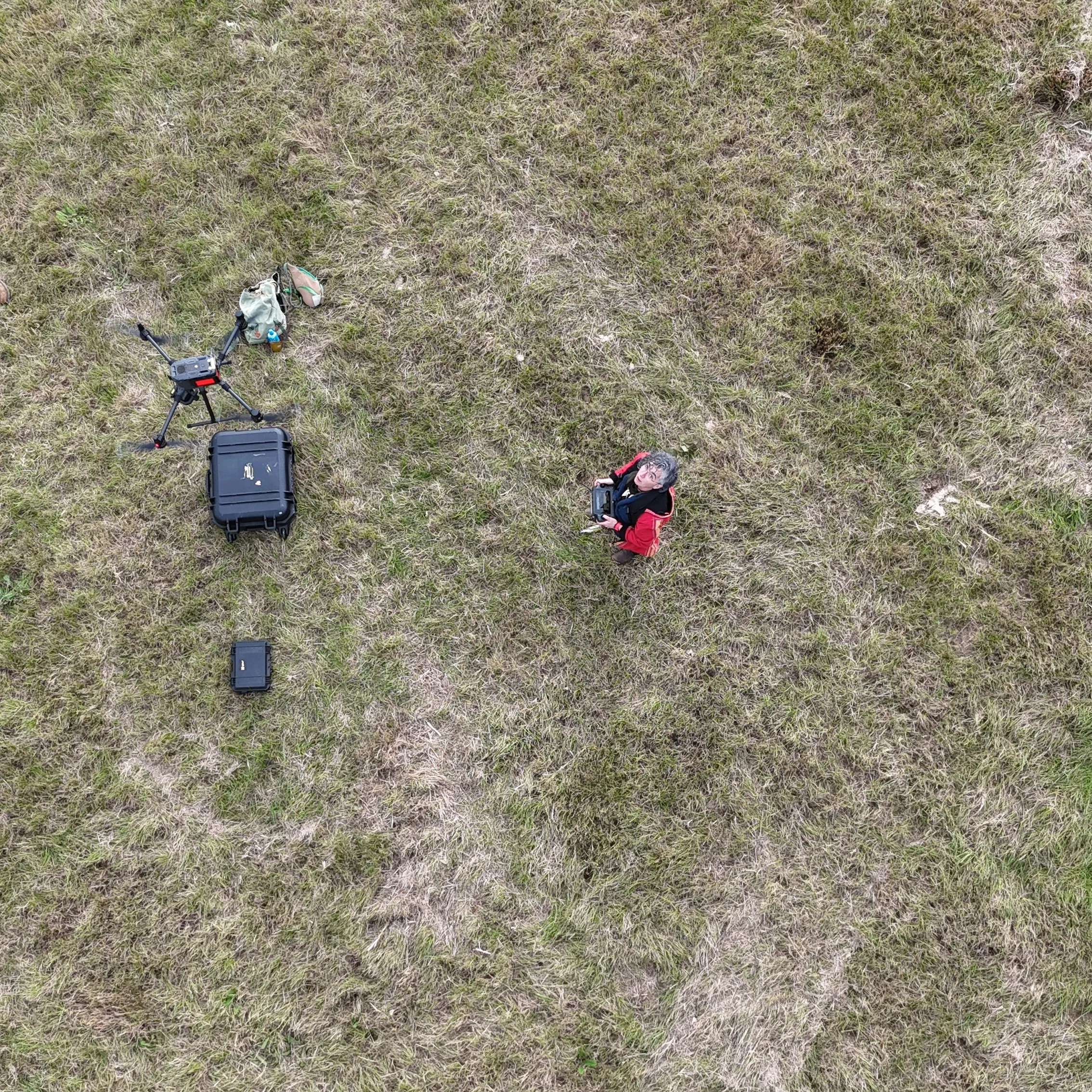
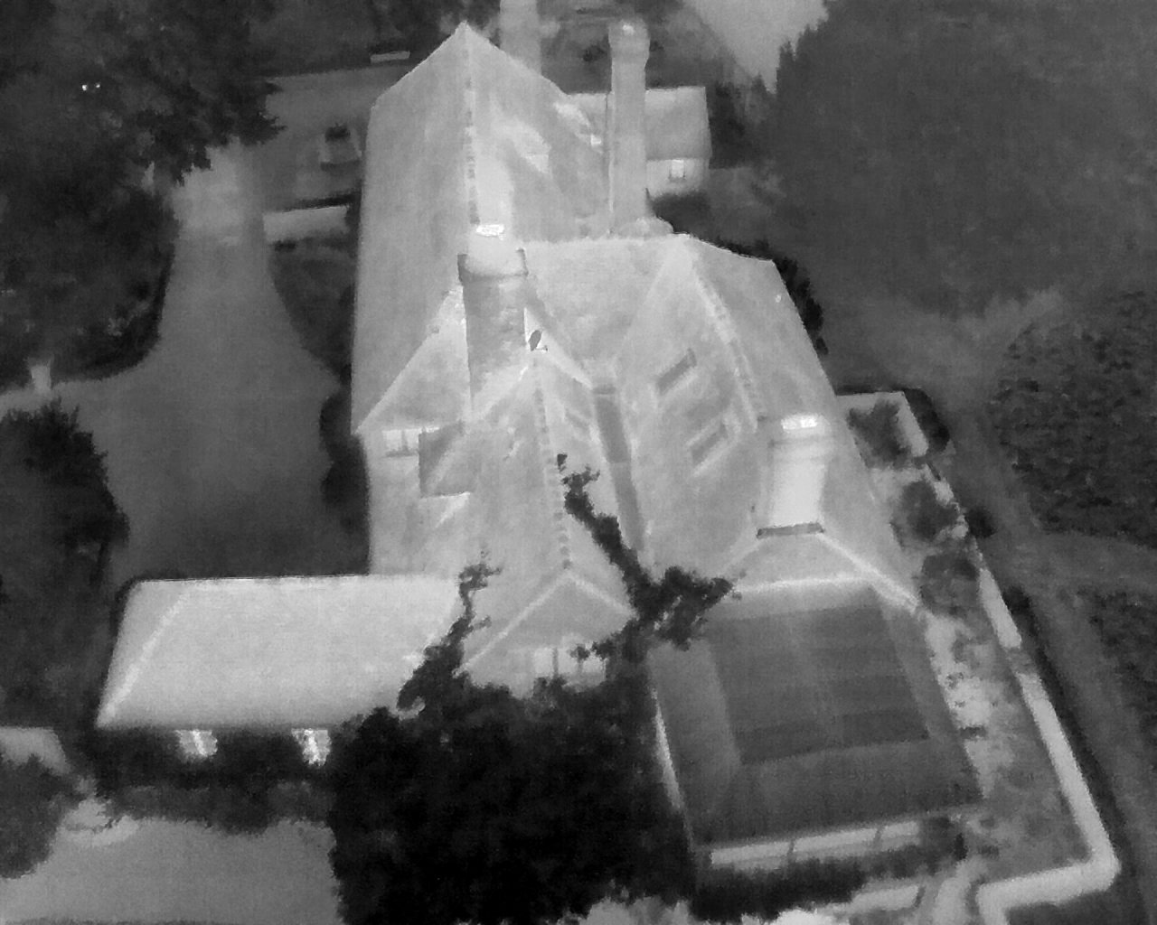
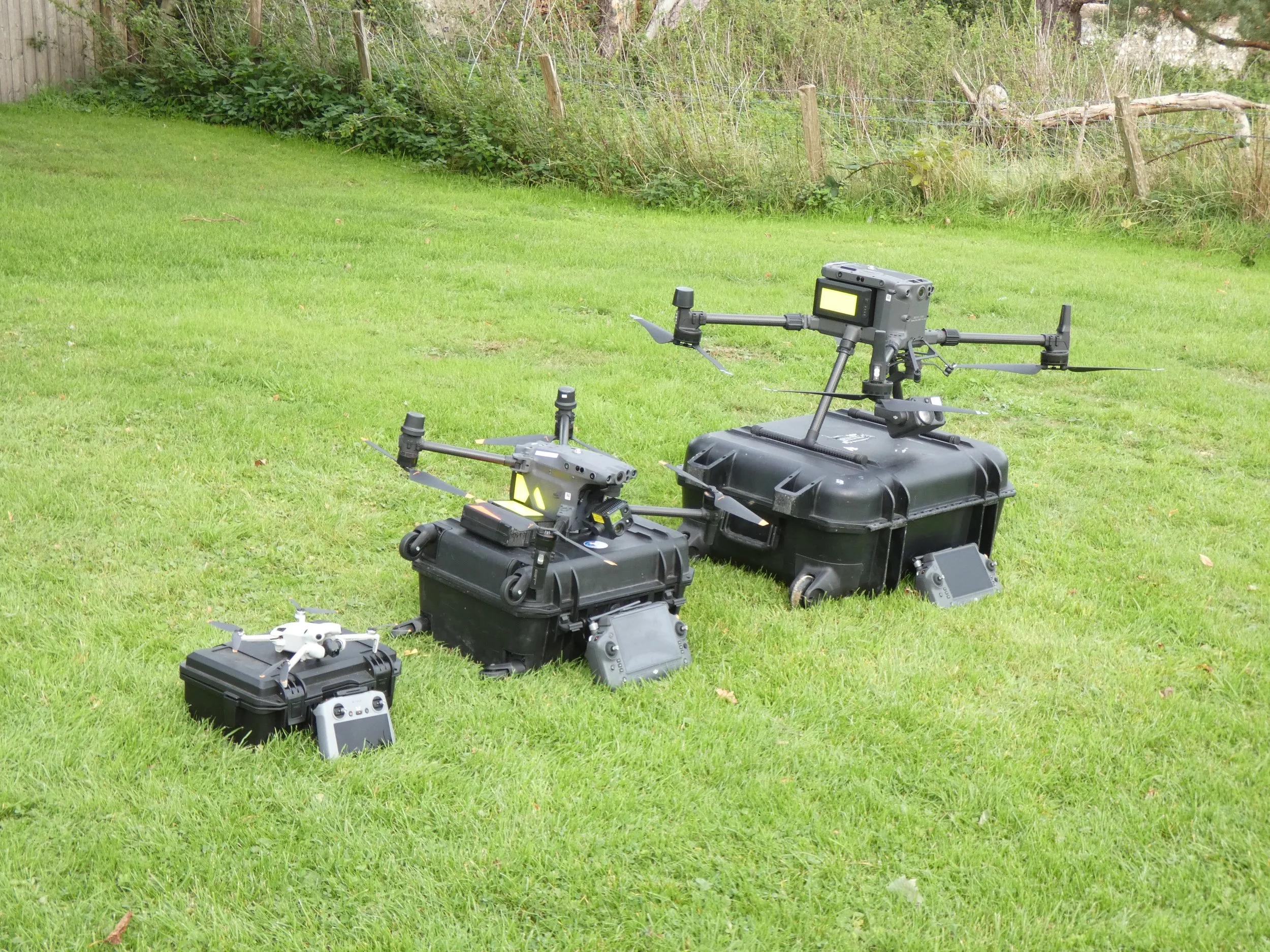
Thermal Drone Surveys
Thermal drone surveys for complex structures, constrained viewpoints and challenging access conditions. Supporting bat emergence surveys with multi-viewpoint thermal workflows and detailed post-processing.
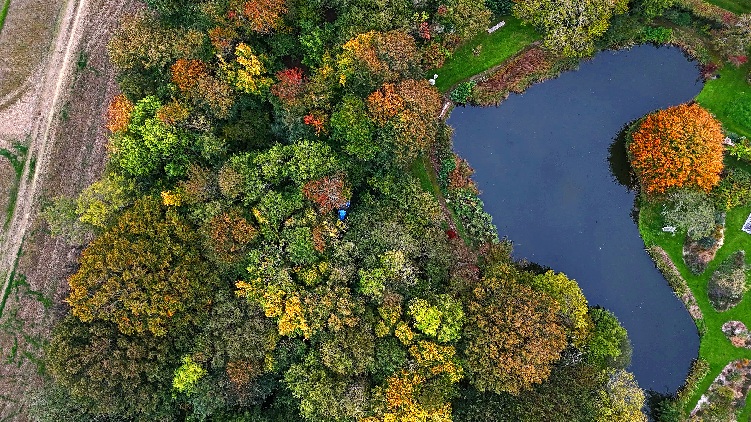
Interactive 3D reconstruction generated from drone survey data, capturing habitat structure and terrain context.
Used to understand complex sites quickly, communicate constraints clearly, monitor changes and support ecological decision-making
See the data
Thermal drone and ground-based workflows for complex structures and constrained viewpoints.
Specialist ecological survey support
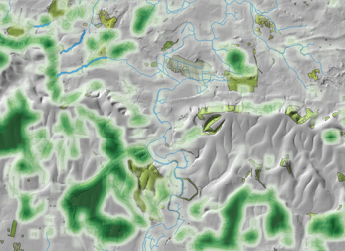
Spatial analysis and clear visual outputs for reporting, design and decision-making.
LiDAR, photogrammetry and GIS workflows supporting habitat assessment and Biodiversity Net Gain
Supporting ecological consultancies with protected species surveys,
habitat mapping and technical advice across the UK
Discuss your project