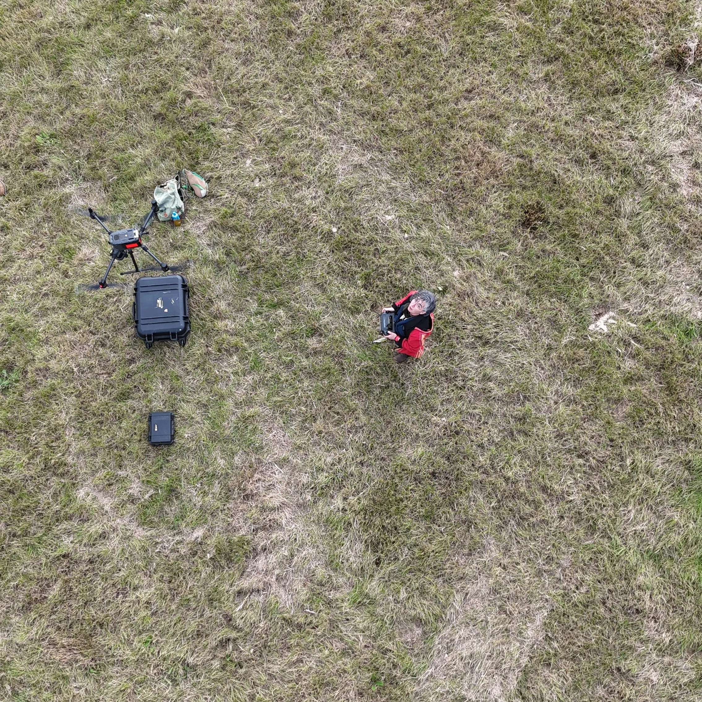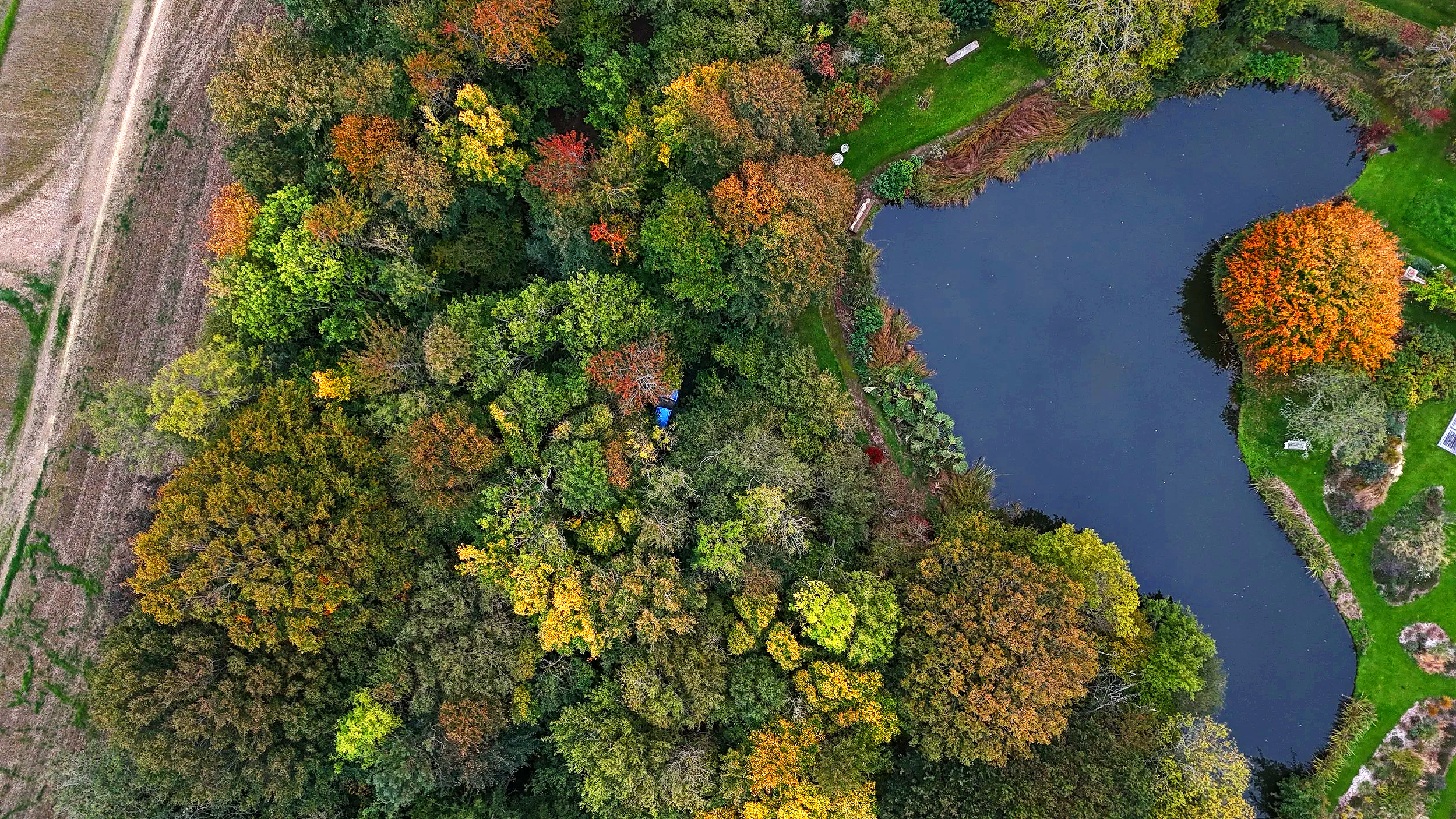
Clear ecological data for complex sites
Specialist drone surveys, thermal imaging, LiDAR and GIS for habitats, wildlife and challenging structures.
Supporting ecological consultancies with protected species surveys, habitat mapping and technical advice across the UK
Discuss your project